AASL Column, May 2020
Lucy Campbell and Barbara Opar, Column Editors
Column by Vanessa Viola, Art & Architecture Librarian, New York Institute of Technology
Architecture Librarians, increasingly encounter design students who need geospatial information.
“Is there a ‘topo’ map of this location?”
“I need to know the population distribution around Jamaica Bay.”
“I’m looking for the change in population” in Brooklyn”
“How many trees are in this neighborhood?”
“I need to know how many rental properties are in this area”
These are the questions often heard during reference desk conversations and research appointments. In some cases, students gather what they can from articles and conclusive analysis by other authors. However, I realized these requests are an opportunity to challenge my love of maps and learn alongside students. Design students need not only to locate maps but also to utilize geospatial data to visualize spatial conditions. David Stuart validates this hunch and recognizes geodata is not exactly exciting for everyone, however, “librarians play an important role in promoting these data sets, beyond responding to user requests (Stuart, 2011).
During the International Open Access Week of October 2018, we presented open data to architecture students while promoting open access principles. Librarians from each branch promoted OA principles and focused on open applications, open data, and open educational resources. Subsequent demonstrations of gateways included NYC Open Data, NYC Population Factfinder, and how to locate and parse local GIS clearinghouses. After emphasizing the ability to access and use open data freely during a library workshop, the education and collaboration activities continued. In the Fall of 2019, the Art & Architecture library hosted, Locating Geospatial Information. This workshop began by defining open data, recognizing the building blocks of geospatial data sets, and then selecting and manipulating quality visualization such as Living Atlas by ArcGIS and Social Explorer. Each iteration of these demonstrations addressed stages of precedent analysis, site analysis, and thesis research.
The ‘Opening Up’ of geospatial information is relatively new. We have gone from several siloed municipal data sets on data.gov (2009) to today where 30 global adopters of Open Data Charters such as Find Open Data in the United Kingdom. The Open Data Barometer measures governmental open data initiatives globally. This means it has become easier for students to discover, navigate, and generate analysis themselves.
Continuing the open data discussion does not aim to “treat data as unquestionable . . . rather as a proxy for things we want to understand or probe” (Haque, 2014). The open data and geospatial workshops serve as a backdrop for more complex design thinking. Countering this notion of government data as the end-all of data requires developing a student’s geospatial data skills with a critical lens. Usman Hague argues that investigating the building blocks of geospatial data should emphasize people at the center analyzing data (Hague, 2014). Exposure to and understanding the access, evaluation, format, and analysis of open data sources lead to student participation in the evolving open data infrastructure.
Haque, U. (2014). Making Data, Making Sense. A + U: Architecture & Urbanism, 530, 110–113.
Stuart, D. (2011). Facilitating access to the web of data: A guide for librarians. Facet.
About the Images:
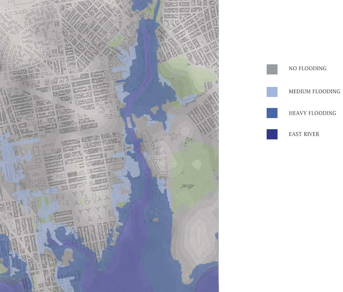
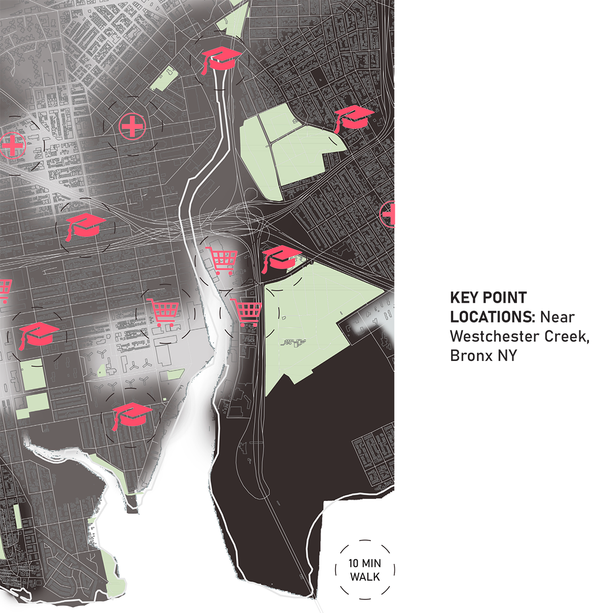
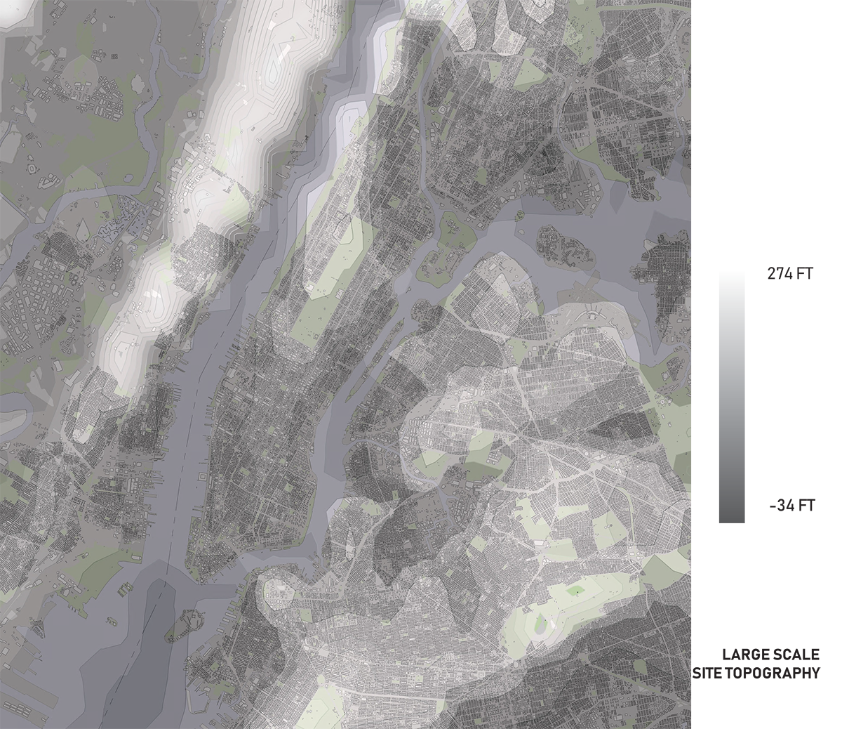
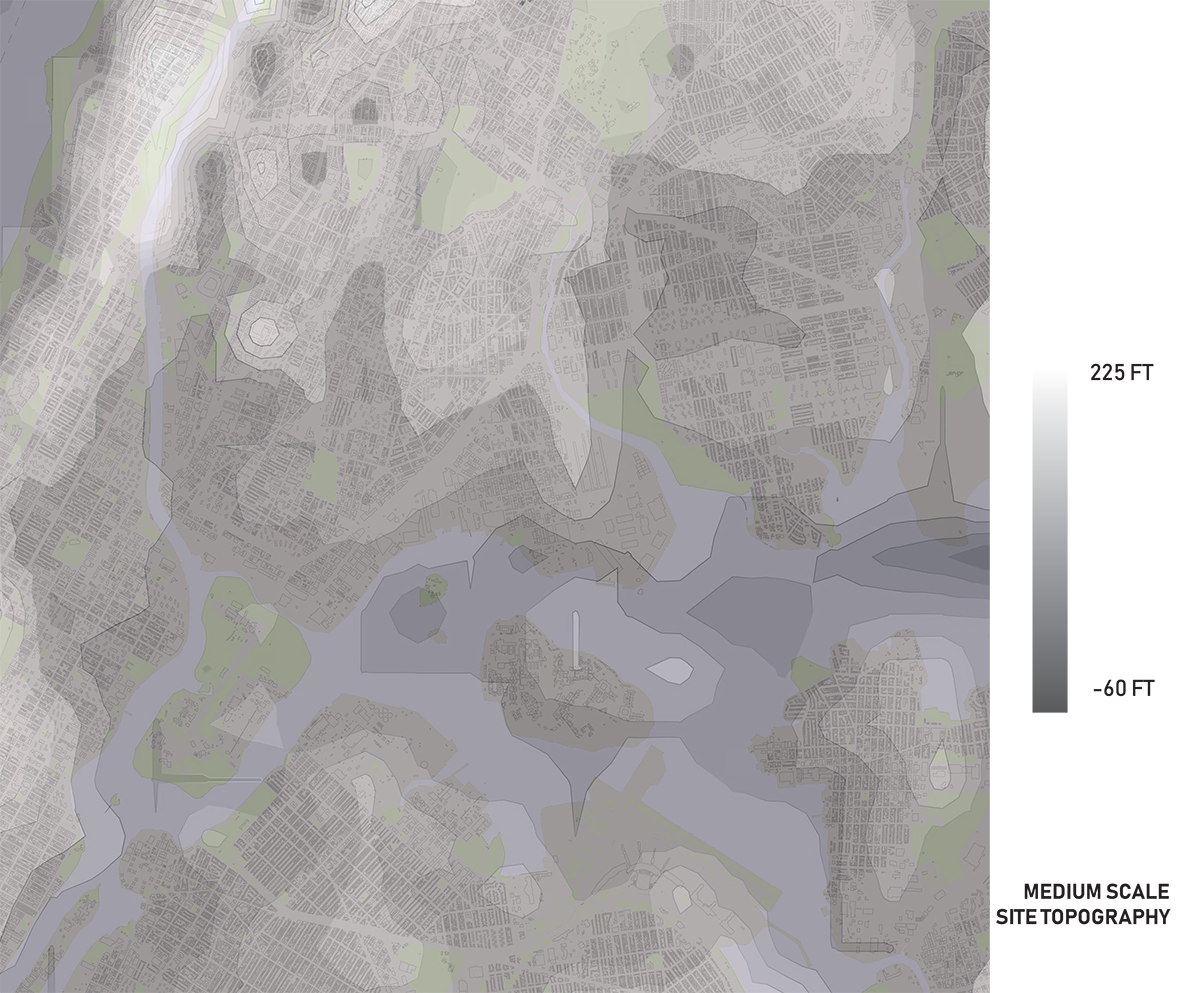
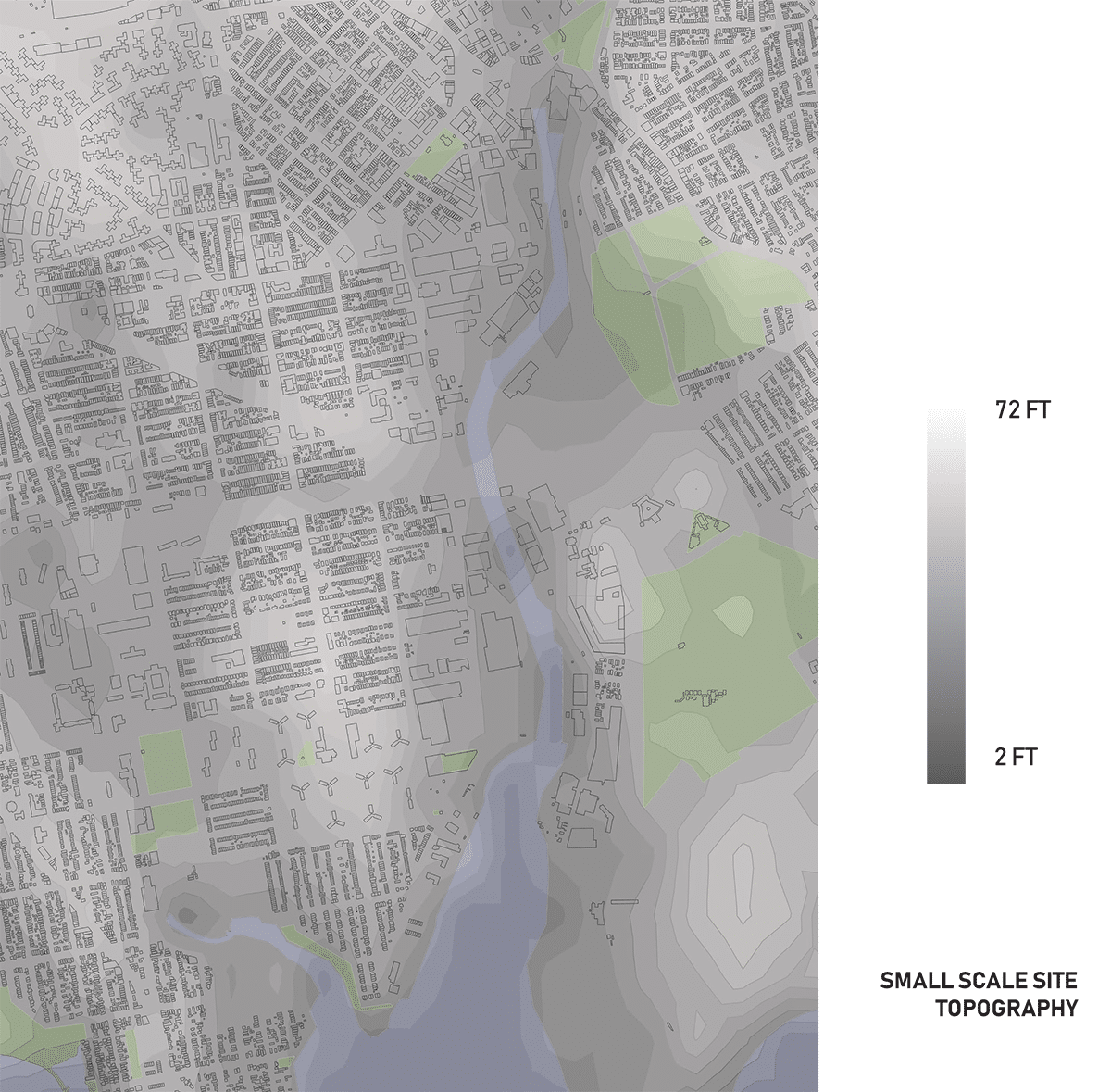
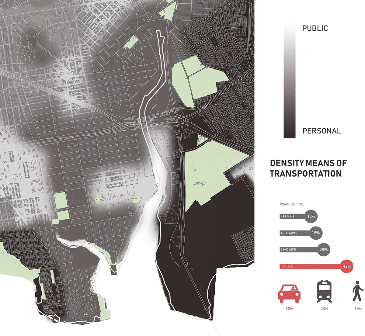
Heidi Abrahamsen developed these visualizations during the Community Design course at the School of Architecture and Design, New York Institute of Technology. The project considered revitalizing the Westchester Creek edge, by creating usable space and easy access for residents. The data research involved mapping the existing information and designing to expand limited space.
Ms. Abrahamsen explains, “The ‘personal public’ map refers to the parts of the city that the residents use personal vehicles versus public transportation more and relating to the areas that are more residential versus commercial.”
Questions
Michelle Sturges
Membership Manager
202-785-2324
msturges@acsa-arch.org

 Study Architecture
  ProPEL